Site photos that know where, when and by whom
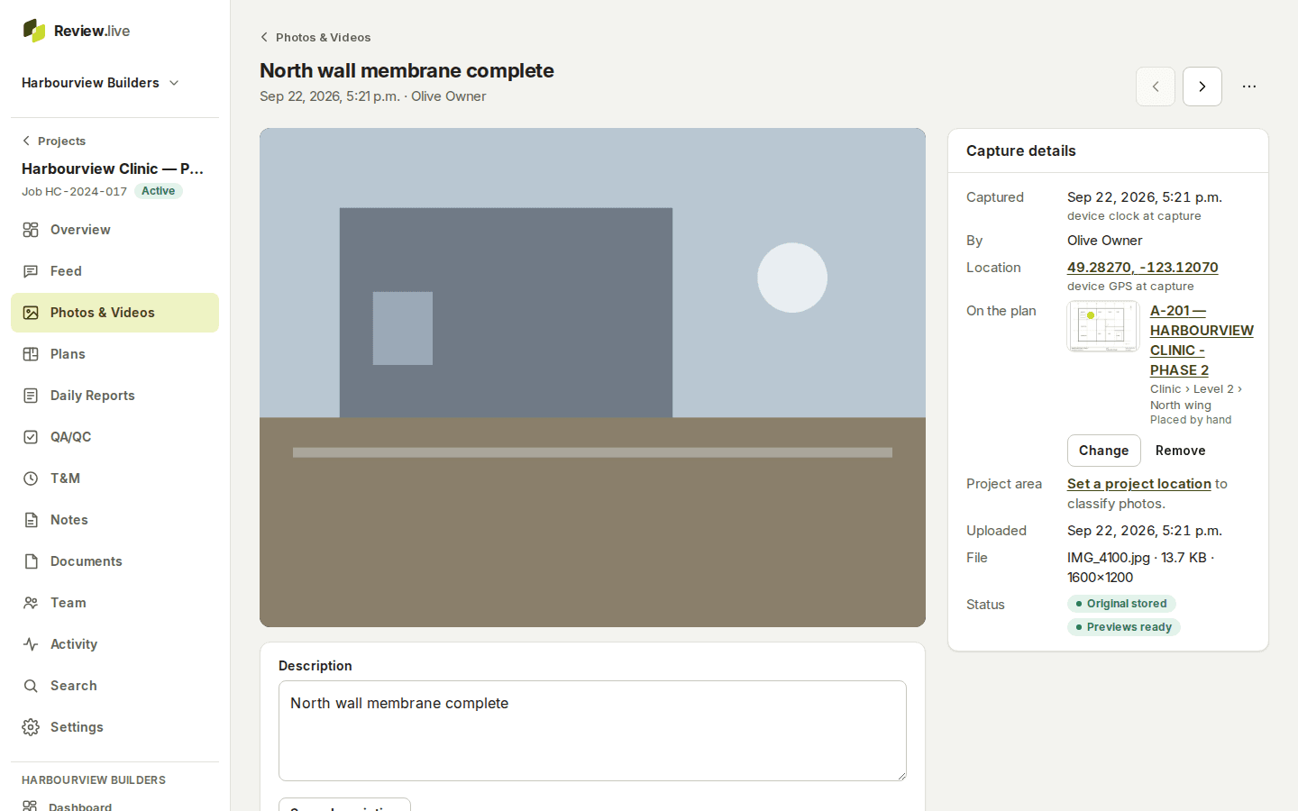
A photo taken in Review.live is a record, not a file in a camera roll. It keeps the time it was taken and where that time came from, the GPS fix and its accuracy, the person, an optional description, a level or area, and a point on the drawing. Then it is in the project’s gallery, timeline, map and plan views, and in search, for the life of the project.
Video works the same way, with a poster frame made for you. Originals are kept exactly as uploaded.

Capture on the phone, even with no signal
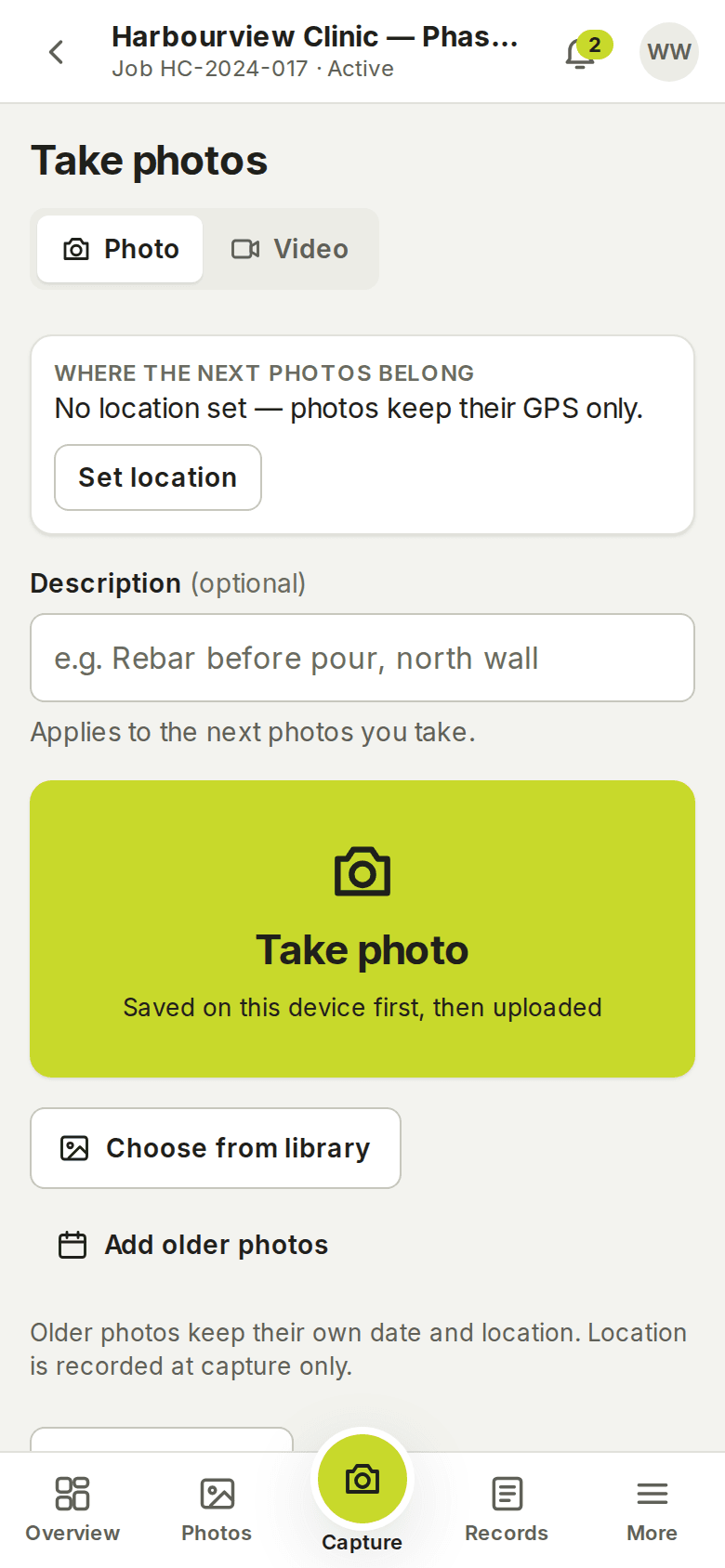
Open the project, tap the camera or pick from the library. The capture is saved on the phone first, with the time and the GPS position, and uploads on its own in 8 MB parts straight to storage — an interrupted upload resumes from the part it reached, and nothing is lost to a page reload, a closed browser or a sign-out.
Photos of JPEG, PNG, HEIC, HEIF and WebP up to 50 MB; video of MP4, MOV and WebM up to 2 GB. The server checks that the bytes are what they claim to be before a file is accepted.
Say where it is, once
Set a location — building, floor, area or zone — and a point on a plan sheet, and start a capture session: every photo taken inside it inherits that placement without another tap, and a photo taken without a fresh GPS fix uses the session’s position, marked as such so it is never mistaken for a reading.
Each photo can also carry a description and be moved to another spot later. The project’s geofence tells a reviewer whether a fix fell inside the site, with the benefit of the doubt for the fix’s accuracy — it never blocks a capture.
Find it again: gallery, timeline, map, plan — and search
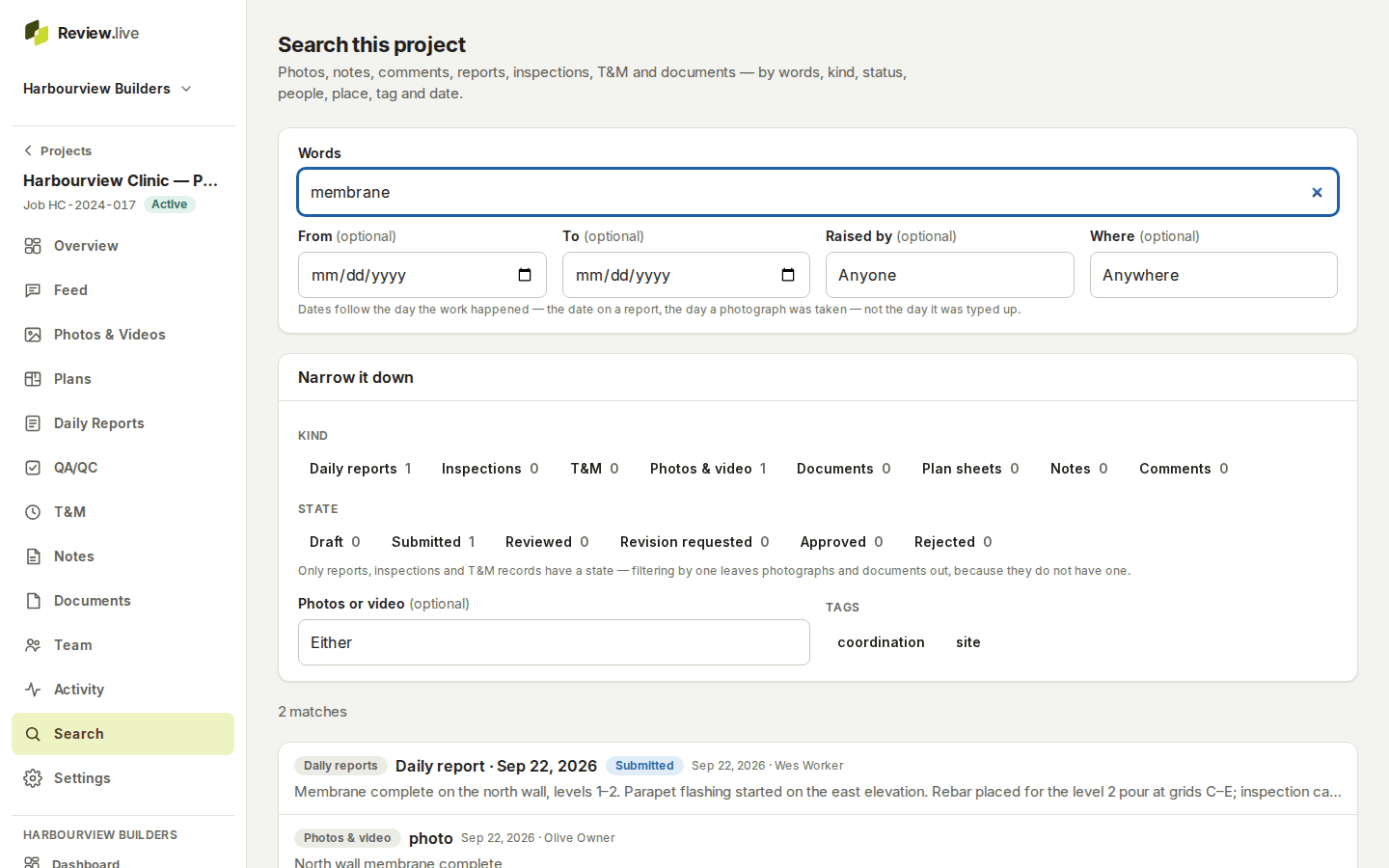
The same photos, four ways: a gallery of thumbnails, a timeline by day, a map with clusters and the project’s geofence, and the plan view with pins. Search covers photos, notes, comments, reports, inspections, T&M and documents at once, by words, kind, state, person, place and date, with counts for each filter.
Discuss on the record itself: comments on any photo, one level of replies, @mentions of people who can see the project, and notifications in the app and by email according to each person’s preferences. Edits keep the previous version; deletions leave a marker.
What the record holds
Each item below is a field the application stores today — the list comes from its schema, not from a plan.
- Capture time, and whether it came from the device clock, the file's EXIF or was typed
- GPS position with its accuracy, and where the fix came from (device, EXIF, session, manual)
- Who captured it, when it uploaded, the original file name, type, size and checksum
- Description, tags, and the project location (building, floor, area, zone)
- The plan sheet, the revision and the point it is pinned to
- Whether the fix fell inside the project's geofence
- Thumbnail, small and medium previews; a poster frame for video
- Comments, mentions and edit history
What it does not do
It does not run image recognition or read text out of photographs, does not edit or annotate images, and does not import from other systems. Photos are private to the project’s company; there is no public gallery. The plan view needs a drawing set (plans and locations), and the map needs the project’s address or coordinates.
The other parts
Start with one project
Create a company, add a project, invite the crew. Your records stay yours: readable and exportable for a year if access ever ends, and nothing is removed without notice — what happens to your records.