Every record has a place: on the drawing, and in the building
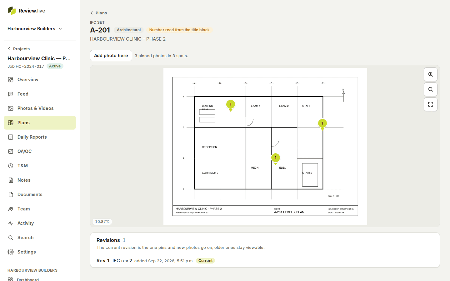
Upload a drawing set as a PDF and each page becomes a sheet, numbered from its title block. Photos, notes, reports, inspections and tickets are pinned to a point on a sheet, and a building’s floors, areas and zones give them a name a crew already uses. When a new issue arrives it becomes a revision of the same sheet, and every pin keeps the place it was made on.

From a PDF to sheets with pins
A plan set groups drawings by discipline. The PDF is uploaded through the same resumable path as a video, inspected for its page count and text, and each page is rendered at three sizes; the sheet number is read from the title block and stays flagged until an admin confirms it. Admins correct a number, title or level, re-file a page under another sheet, and choose which revision is current.
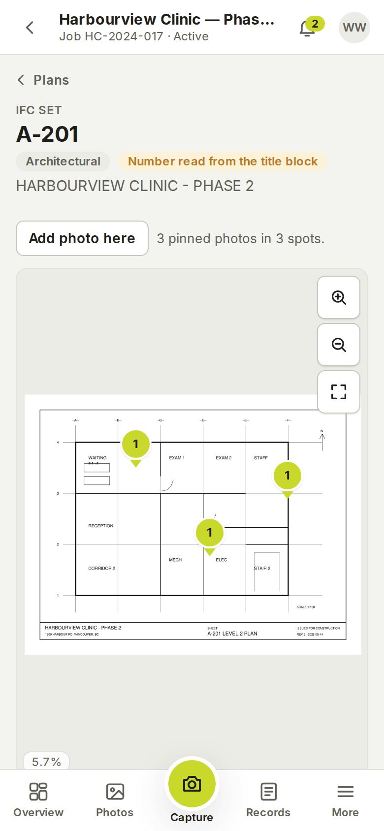
The viewer pans and zooms with the pins staying where they belong; nearby pins group with a count. A pin made on revision 1 is shown on revision 2 with a note saying so — it is never moved for you.
Buildings, floors, areas and zones
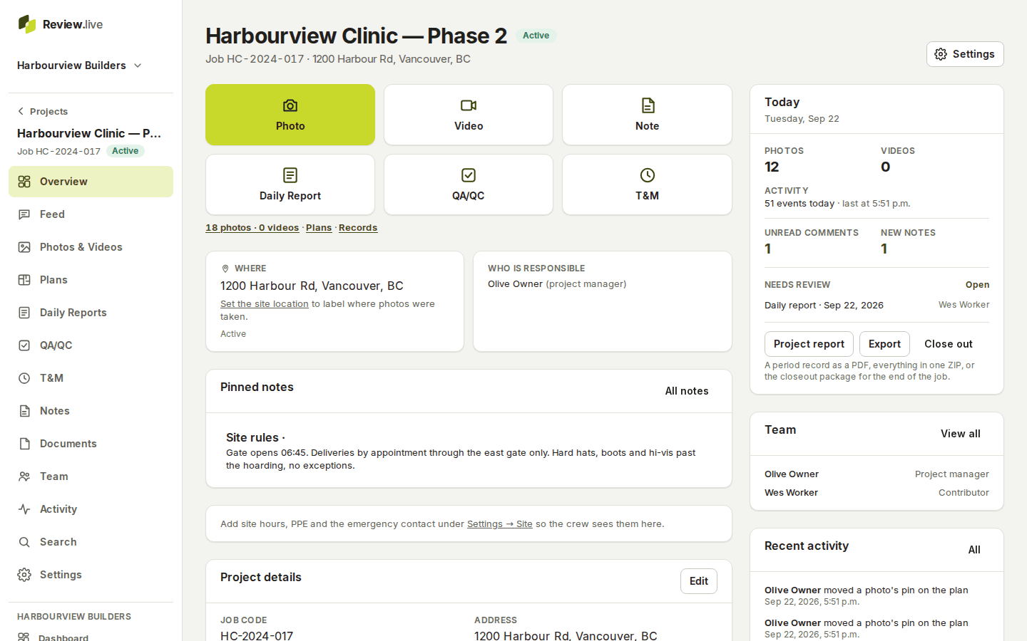
Project locations are a small tree a manager sets up once — nothing is mandatory — and every record can carry the most specific one. The capture screen shows where the next photos will belong, so the question is answered before the first photo rather than after the hundredth.
A capture session takes a location, a sheet and a pin, and places every photo that follows without another tap; it expires after twelve hours, and one person has one active session per project.
The map, the geofence, the address
A project has an address, coordinates and a geofence radius. The map view shows geotagged photos in clusters over the project’s centre and its circle, and a photo’s page says whether its fix fell inside — with the benefit of the doubt for the fix’s accuracy. Without a map provider configured the view degrades to a located list with open-in-maps links.
What the plan model holds
Each item below is a field the application stores today — the list comes from its schema, not from a plan.
- Plan sets by discipline; uploads as immutable PDFs with their processing state
- Sheets with number, title, discipline and level, and whether the number was detected or confirmed
- Revisions, append-only, each rendered at full, preview and thumbnail sizes; the current one
- Placements: any record's sheet, revision, x/y as fractions of the page, and its most specific location
- Locations: buildings, floors, areas and zones, with an optional parent
- Capture sessions: location, sheet, pin, starting GPS fix, expiry
- The project's address, coordinates and geofence radius
What it does not do
The viewer shows drawings; it does not measure, mark up, compare revisions visually or read CAD files — the input is a PDF. Sheet numbers are detected from text in the title block and can be wrong until confirmed. There is no BIM, no model viewer and no georeferencing of sheets to the map. Photos pinned here come from the capture path.
The other parts
Start with one project
Create a company, add a project, invite the crew. Your records stay yours: readable and exportable for a year if access ever ends, and nothing is removed without notice — what happens to your records.